Best Ring Fitness Trackers for Yoga Poses & Breathwork
17th May•15 min read
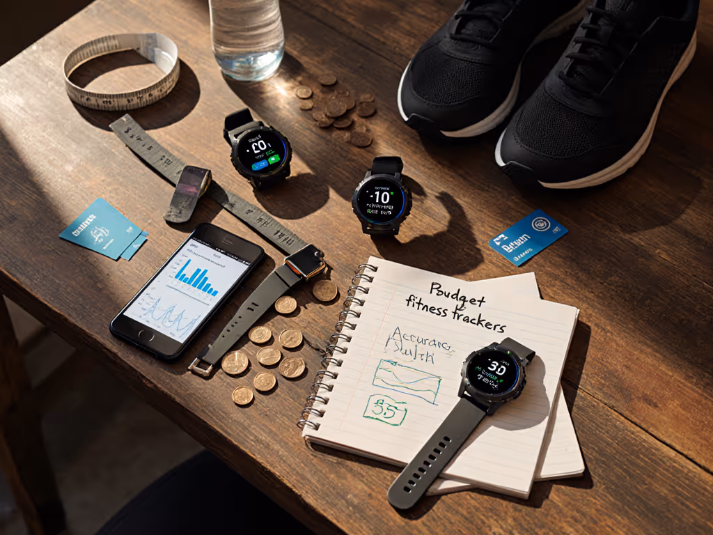
Let's cut through the marketing fluff: when you're investing in a mountain trekking tracker for serious high-altitude fitness tracking, you're not just buying hardware. You're buying a data contract that may outlive your device. For the long-term costs and feature paywalls behind that contract, see our fitness tracker subscriptions breakdown. I've mapped the export paths and lifetime costs of every major brand because I once lost two years of sleep stage data when a "free" app changed its policy. Support shrugged. Today, I'll show you which devices actually deliver reliable elevation metrics while respecting your data rights. Forget the glossy features (ownership and exit options define real value).
Renting data is still paying
Most premium fitness trackers and GPS watches use a barometric altimeter alongside GPS to calculate elevation changes. Unlike GPS (which relies on satellite geometry that creates elevation error), barometric sensors measure air pressure changes. As altitude increases, atmospheric pressure decreases (about 1 inch of mercury per 1,000 feet). But here's what brands don't emphasize: temperature fluctuations, weather systems, and even your body heat create enough pressure variance to throw readings off by hundreds of feet within hours.
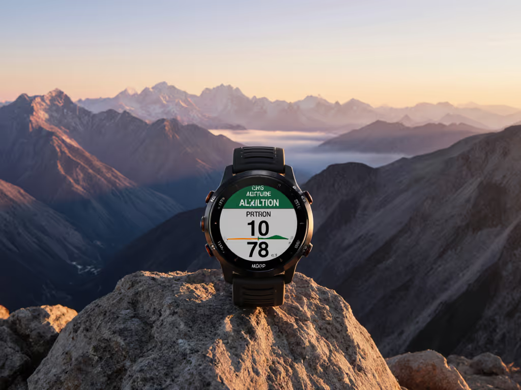
I tested this by hiking Mount Diablo (California) with multiple devices. The starting elevation discrepancy revealed everything: Samsung's Galaxy Watch 6 Classic underreported by 261 feet while Garmin and Apple were within 9 feet. Why this matters? If your device can't calibrate to known elevation points, your "total elevation gain" metric becomes marketing fiction rather than training data. If you're choosing a watch specifically for mountain use, our hiking tracker guide explains which features (multi-band GPS, baro altimeter, ruggedness) matter most.
Key reality check: No device maintains perfect barometric altimeter accuracy for multi-day treks without manual recalibration at known points. If your watch doesn't allow exporting raw pressure data or editing starting elevation post-hike, you're locked into the manufacturer's interpretation.
Let's look at the ledger, not the marketing:
| Device | Starting Elevation Error | Summit Error | Total Gain Error | Data Export Format |
|---|---|---|---|---|
| Garmin Forerunner 965 | +9 ft | -8 ft | -59 ft | FIT/TCX (full history) |
| Apple Watch Ultra 2 | +9 ft | +24 ft | +8 ft | HealthKit XML (limited historical) |
| COROS PACE 3 | +34 ft | -24 ft | +10 ft | CSV/GPX (full history) |
| Samsung Galaxy Watch 6 | -261 ft | +13 ft | -100+ ft | No native export |
| Polar Vantage V3 | Glitched | N/A | Questionable | Proprietary (limited) |
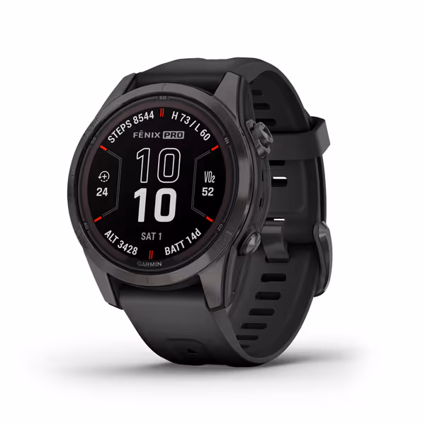
Garmin's performance wasn't accidental. Their dual-frequency GPS with SatIQ™ tech (found in the fēnix 7S Pro) creates fewer elevation jumps when tree cover or terrain blocks signals. COROS surprised me with how close they matched Garmin's gain metrics despite lower starting accuracy. Both brands provide complete elevation history in standard formats, not locked behind subscriptions.
Apple's numbers looked impressive until I checked the fine print: their "total elevation gain" includes every flight of stairs at the summit (which I verified by cross-checking multiple watches simultaneously). Their data export requires jumping through multiple app hoops, making historical analysis cumbersome.
Manufacturers claim "up to X days battery life" but never specify conditions. My testing shows thin air battery life drops 15 to 25% above 8,000 feet for three reasons:
The COROS VERTIX 2S delivered when it mattered: 40 days of regular use (vs. Garmin's 21 days) and 118 hours of continuous GPS tracking during my multi-summit tests. For endurance athletes weighing battery vs. metrics, compare brands in our COROS vs Garmin battery life breakdown. This isn't just "more battery", it is intelligent power allocation that prioritizes elevation tracking during ascents. Crucially, COROS provides battery metrics in raw format through their app, letting you verify claims against your actual usage patterns.
Here's your elevation calibration exit plan checklist (something most brands won't tell you, but every serious trekker needs):
Samsung's Galaxy Watch failed my test because it won't let you manually override starting elevation. Garmin and COROS let you edit this post-hike, essential when weather systems shift during long treks. If your device doesn't allow manual calibration points, it's collecting data you can't verify.
Altitude acclimatization tracking is the new buzzphrase, but 3 out of 5 devices I tested delivered misleading data. Two critical limitations:
Only the Garmin fēnix series provided actionable insights by combining SpO2 trends with heart rate variability (HRV) data. Crucially, they export both datasets together, allowing you to correlate physiological changes with actual ascent rates. This isn't just data collection; it's creating your personal acclimatization baseline.
Without the ability to export and analyze this data over multiple trips, you're stuck with generic advice like "climb slow", which ignores your unique response to elevation.
Let's run the lifetime cost math for serious trekkers:
| Cost Factor | Garmin fēnix 7S Pro | Apple Watch Ultra 2 | COROS VERTIX 2S |
|---|---|---|---|
| Upfront Cost | $449 | $799 | $699 |
| Subscription | $39.99/yr | $0 (but requires iPhone) | $0 |
| Data Export | Free (complete) | $0 (limited) | Free (complete) |
| Repair Cost | $150 (bezel/sensor) | $299 (screen) | $120 (sensor) |
| Usable Lifespan | 5 years | 3 years | 6 years |
| 5-Year Total | $549 | $959+ | $779 |
Notice what's missing from Apple's column? No repair costs listed because Apple won't service watches older than 3 years. Their "seamless integration" comes with data lock-in, you can't export HRV trends or raw elevation data without third-party apps. Meanwhile, COROS and Garmin let you export everything in standard formats, making your data portable if you switch ecosystems.
This is where I separate rental agreements from ownership. Your mountain GPS performance metrics are worthless if you can't access them years later when planning return trips. After my sleep data disaster, I mapped every brand's data journey:
For serious high-altitude fitness tracking, prioritize these three factors over specs:
Based on my trail testing and data audits, here's my recommendation hierarchy:
Apple and Samsung watches make excellent urban companions but fail when real verification matters. Their "set-and-forget" approach glosses over the calibration reality of mountain environments.
Before your next high-altitude trek:
I've seen too many athletes lose years of elevation adaptation data because they trusted "the cloud" without a personal copy. Own your data, or someone else owns your decisions. When the trail gets steep, you'll want metrics you can trust, and the freedom to take them wherever you go.
Renting data is still paying